Flooding Impacts Irondequoit Creek in Rochester, NY
• Drone imagery reveals significant flooding along Irondequoit Creek in Rochester, NY, after heavy rainfall.
• Flooding raises concerns about infrastructure damage and environmental impact in affected areas.
• Residents advised to take precautions as authorities assess damage and coordinate relief efforts.
Drone images reveal extent of Rochester flooding
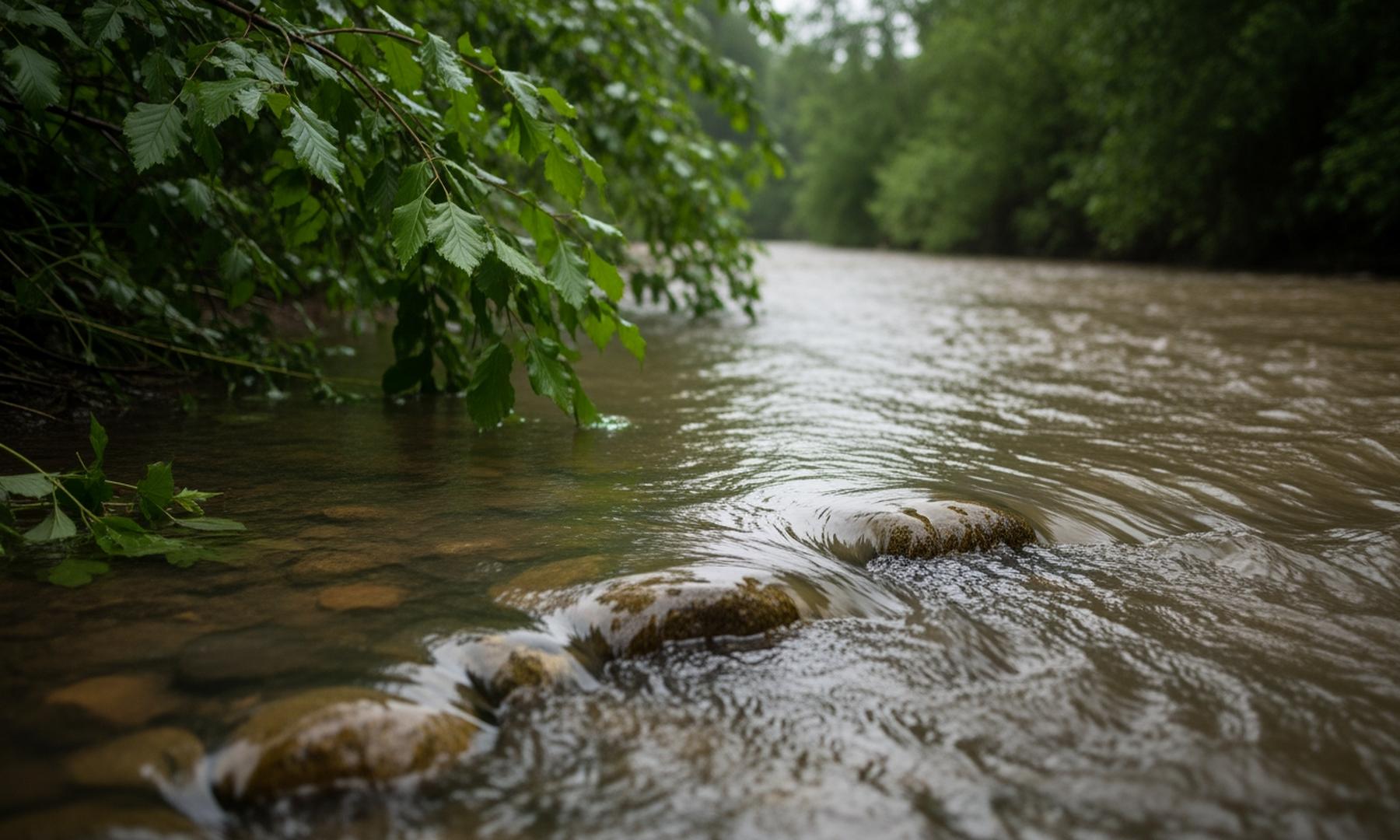
Drone images have recently captured the significant flooding along Irondequoit Creek in Rochester, New York, following several days of heavy rainfall. The overflow from the creek has resulted in widespread inundation, affecting local landscapes and raising concerns among residents and authorities. The drone imagery clearly shows the extent of the flooding, with water breaching creek banks and flooding surrounding areas. This visual evidence is crucial for assessing the damage and coordinating relief efforts.
Related News